
Map viewer
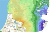
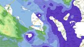
The ThermoGIS map viewer shows the potential for both geothermal energy and heat storage in the Netherlands, in interactive maps. View the geological input maps, the technical- and economic potential maps and data availability maps per aquifer, or explore the stacked layers.
Explanation of using the map viewer
Watch a tutorial video to find out how to use the ThermoGIS map viewer and view an explanation of the icons in the map viewer.
Calculation tab
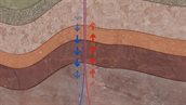
The map viewer offers the option to adjust the input values of a number of parameters for a selected aquifer and location, and to redo the calculation.