Welcome to ThermoGIS
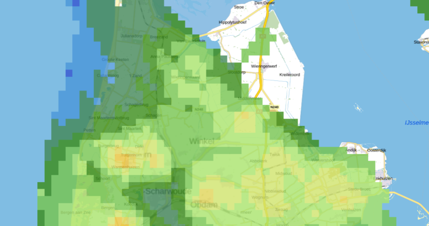
ThermoGIS is a public, web-based geographic information system that displays the regional potential of geothermal energy and high temperature aquifer thermal energy storage (HT-ATES) in the Netherlands. The main purpose of ThermoGIS is to support industry and governments in developing geothermal heat extraction from the Dutch subsurface and finding suitable locations for HT-ATES. Do you want to use geothermal energy and/or HT-ATES, and would you like to know where promising areas are located? Are you interested in the national potential for geothermal energy or HT-ATES? ThermoGIS can help.
If you want to know more about ThermoGIS, visit What is ThermoGIS
ThermoGIS is developed by Geological Survery of the Netherlands, part of TNO (TNO-GDN).


